CT to FL Day 23
Charleston, SC to Beaufort, SC

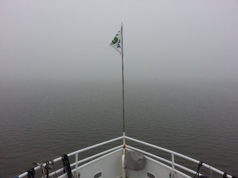
Forecast today was for dense fog so we did not rush to leave the dock departing at 0745 and heading out into some very dense fog. It was forecast to clear off by 1000. A photo at 1000 with about 1/8 of a mile visibility.
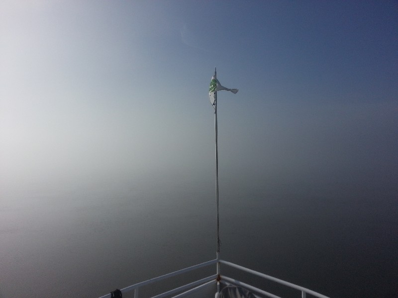
Another photo at approximately 1330 and the fog was even thicker and the sun was out trying to burn it off but just was not doing it.
It did finally just disappear about 1430 just before Beaufort, SC. Then the day was as if it had never been foggy. It was beautiful out the last hour or so of our cruise today.
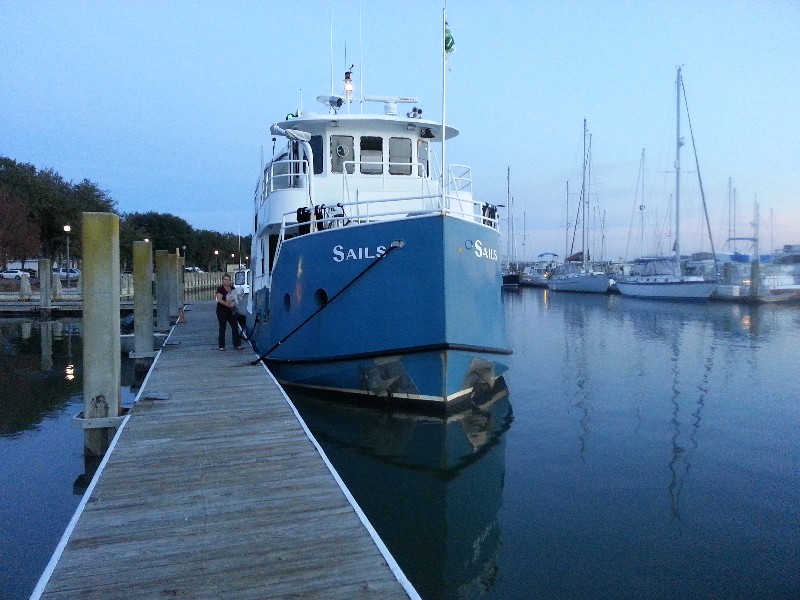
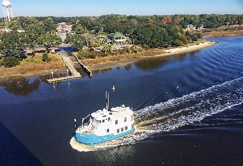
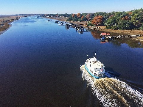
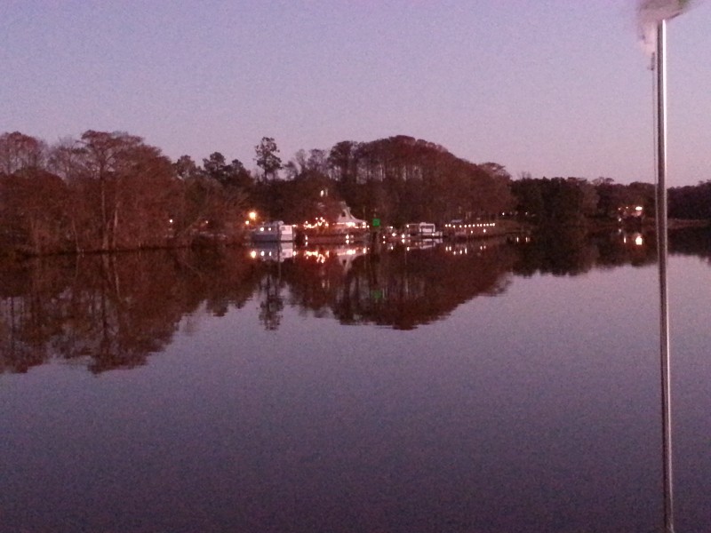
We arrived to Beaufort Town Docks at 1545 and secured SAILS so we could take Beecha for a walk. We used to be able to spend the night on these docks but last time we tried we received a wake up knock at about 0200 with two policemen informing us we could not stay on the dock overnight. They did not make us move and allowed us to spend the rest of that night but we did get a written warning. So, after taking Beecha for a long walk ashore we left the dock and headed out to anchor near by.
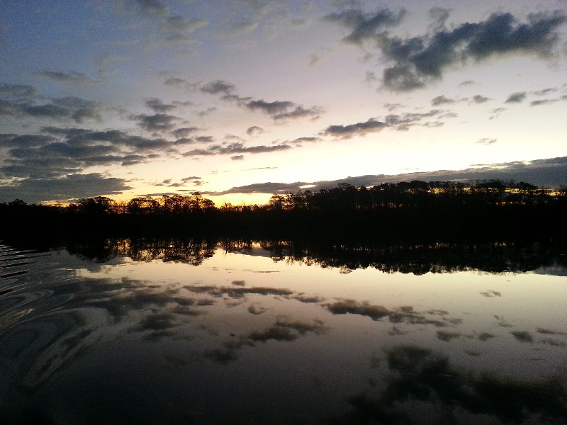
At 1755 we were securely anchored at
N32°25.790’, W080°40.728’. We traveled today for 8 hours covering 55.8 nautical miles averaging 7.0 knots.
Posted at 5:12 PM
CT to FL Day 22
Murrells Inlet, SC to Charleston, SC
We had a quick dinner at the marina restaurant K-Rae’s and to bed early... 0530 alarm clock as we have a long day planned for today.
We departed from the marina at 0610 about 45 minutes before sunrise and the Waccamaw River was VERY DARK…. Almost spooky! The biggest problem the debris floating in the river was horrible... Tons of vegetation but also logs and even trees... so it was slow going till we got enough light to actually see well.
We had current against us for about an hour and then it switched to our favor just before Georgetown, SC and we picked up a great boost of speed running over 9 knots for a couple of hours and then we began the "yo-yo" current... Helping slowing us down for several hours.
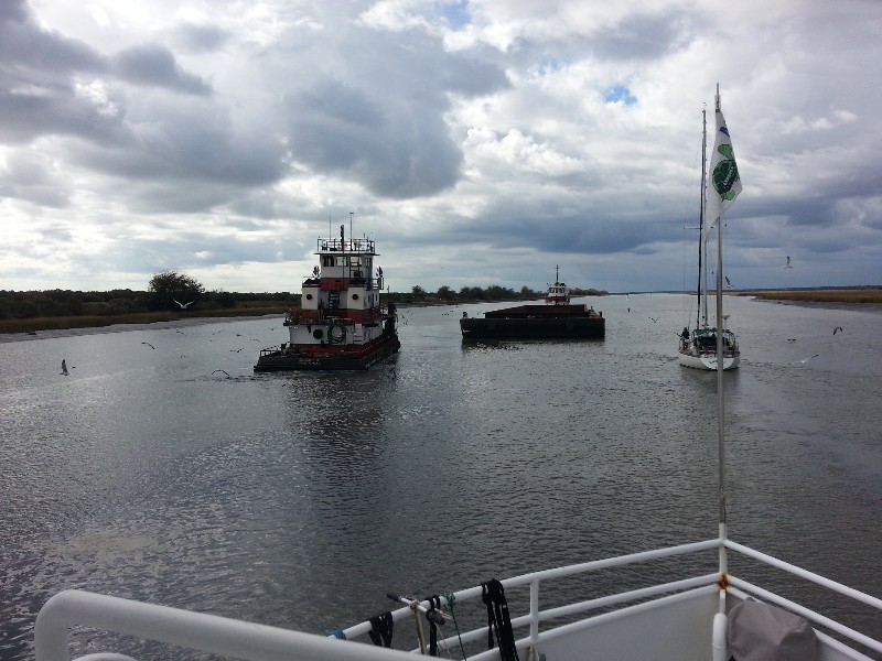
Near McClellanville, SC we caught up with two sailboats that were very nervous about shallow water in the area. They had been going on about it for quite a while on the VHF. Just ahead of them was a large tugboat that must have had an 8-9 draft minimum... he was moving very slowly and we discovered that he was headed to assist another tug and barge that was aground a 1/4 mile south of McClellanville... Dead center of the channel.
I eased past the first of the sailboats and fell in behind the second sailboat right as we approached the tugboats and barge. The tugboat that had come to assist had also gone aground blocking the left side of the channel. Our only clear passage was down the port side of the tug and barge. The sailboat went first and I followed with the other sailboat following us. We passed maybe 5 feet off the side of the barge... Depth sounder stopped working flashing LAST over and over…. The sailboat had said he had a 5 foot draft so if he could make figured we could as well... And we all made it past and back to the center of the channel... depth sounder finally started working again showing 5.5 feet. I soon passed the sailboat in front of us and we were off bound for Charleston.
We battled shallow water and shoals all day in the area and some heavy rain which we had not anticipated at all.
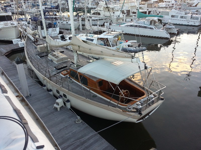
We arrived at our location for the night St. John’s Yacht Harbor on the Stono River at 1640 and we were securely docked at
N32°45.307’, W080°00.668’. We traveled today for 10.5 hours covering 76.8 nautical miles averaging 7.3 knots.
Posted at 4:45 PM
CT to FL Day 21
Carolina Beach, NC to Murrells Inlet, SC
We departed from Carolina Beach State Park Marina at 0640 about 20 minutes before sunrise. We had the current with us running down the Cape Fear River pushing us over 11 knots at one point. I think this was the fastest trip we have ever made down the River to Southport.
As we passed Southport we listened to the VHF closely as we always get hailed by Robert Creech the MTOA Port Captain for Southport... But no hail from Robert... seemed wrong... it's such a regular occurrence... he must not of been home this morning.
Had a few other boats traveling south with us... the two trawlers that had been at the marina with and another motor yacht that passed us just south of Southport.
Just past the high rise bridge at Sunset Beach I receive an email with two photos of SAILS passing under the bridge... Thanks Ronnie Holden!!! Great Photos.
We had two bridges to open today... Little River Bridge and the Socastee Bridge... both are very slow swing bridges and we waited several minutes at each bridge 5-10 minutes but we expect this at these two bridge.
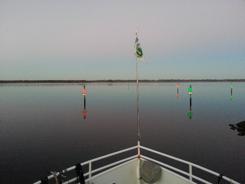
We arrived at our location for the night Wacca Wache Marina on the Waccamaw River at 1740 and we were securely docked at
N33°33.737', W079°05.173'. We traveled today for 11 hours covering 76.4 nautical miles averaging 7.0 knots.
Posted at 4:38 PM